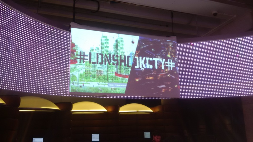
Body Worlds: Mapping health from the inside
The Livingmaps team were invited to run workshops for the Department of Global Health & Social Medicine at King’s College London, for their project titled What Does a Map of our Health Look Like?
Details of these workshops can be found below:
Social Systems Mapping for Transformational Change
Barbara Brayshay
Participatory mapping is increasingly used as a research tool for community engagement and consultation often in the form of geographic mapping of community assets and resources or heritage memory mapping. However, to effectively address complex societal issues, such as economic inequality, health and wellbeing and the climate crisis there is a need for a methodology that represents the lived experiences and concerns of citizens through mapping and visualising the networks they are embedded in.
Network maps are diagrams that consist of elements and connections. Elements or nodes represent people, organisations, concepts and/or community issues. Connections represent the networks of collaborations and flows between nodes. Importantly they are not static representations, they are also dynamic, interactive, animated, and analysable.
In this experimental workshop we built a thematic network map with participants, outlining our research methodology based on Participatory Action Research principles that integrates storytelling and network mapping to empower communities in the processes needed to bring about transformative systems change.
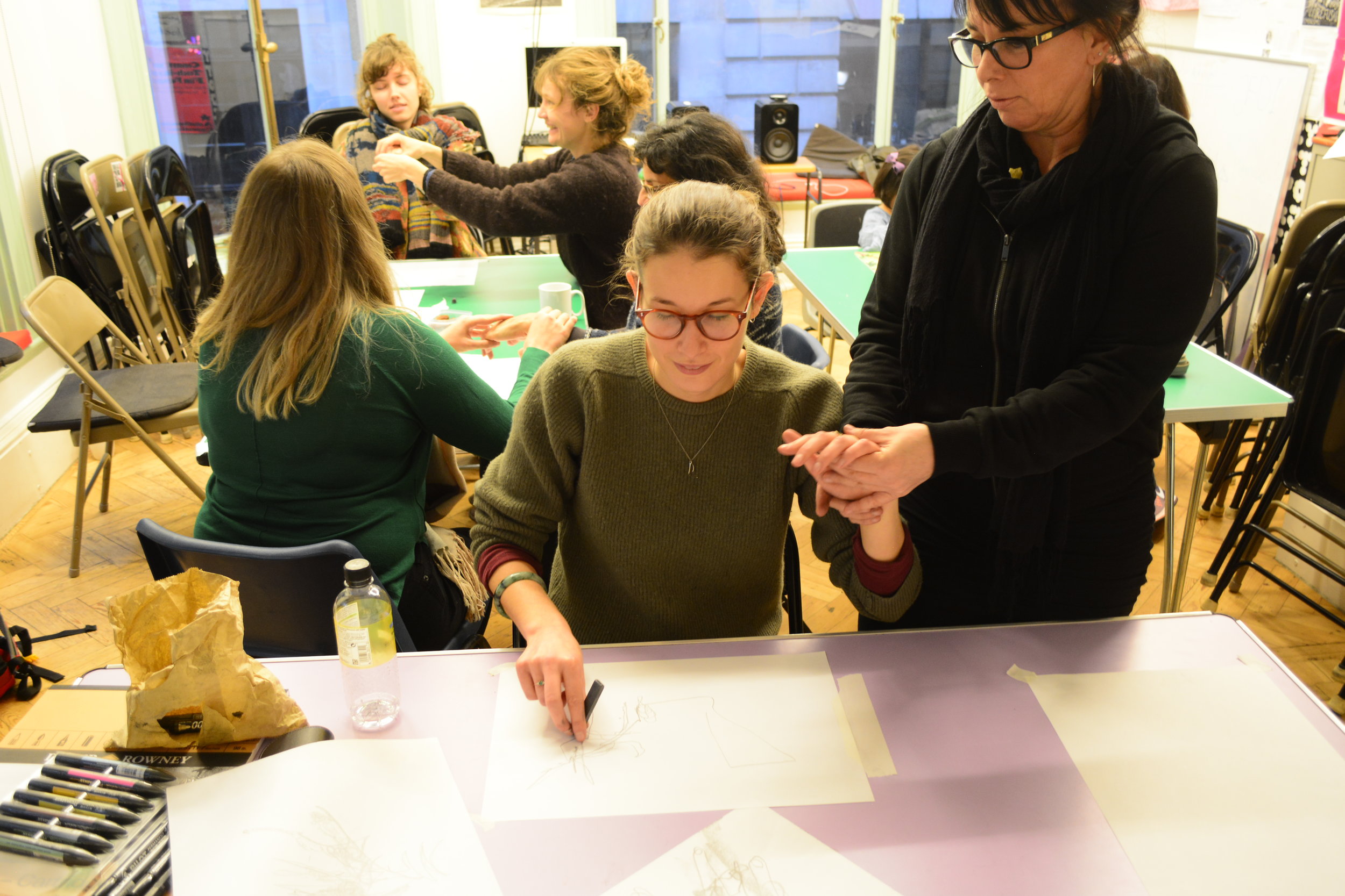
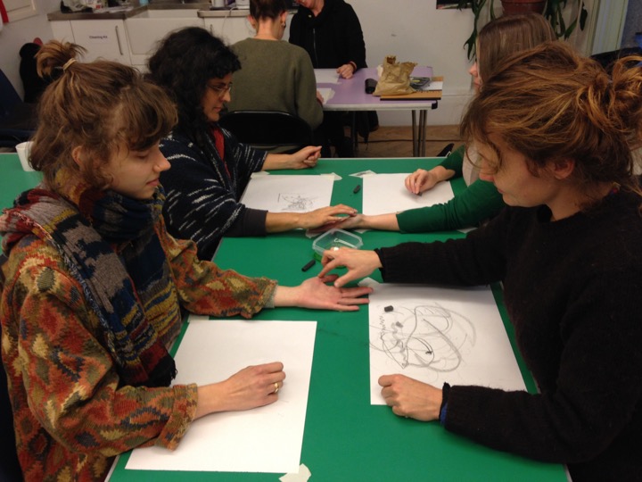
An Embodied Drawing Workshop
Kimbal Bumstead
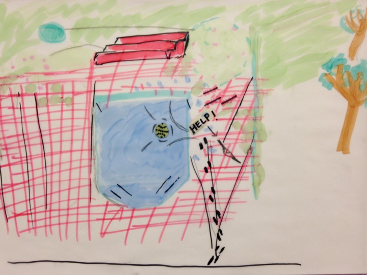
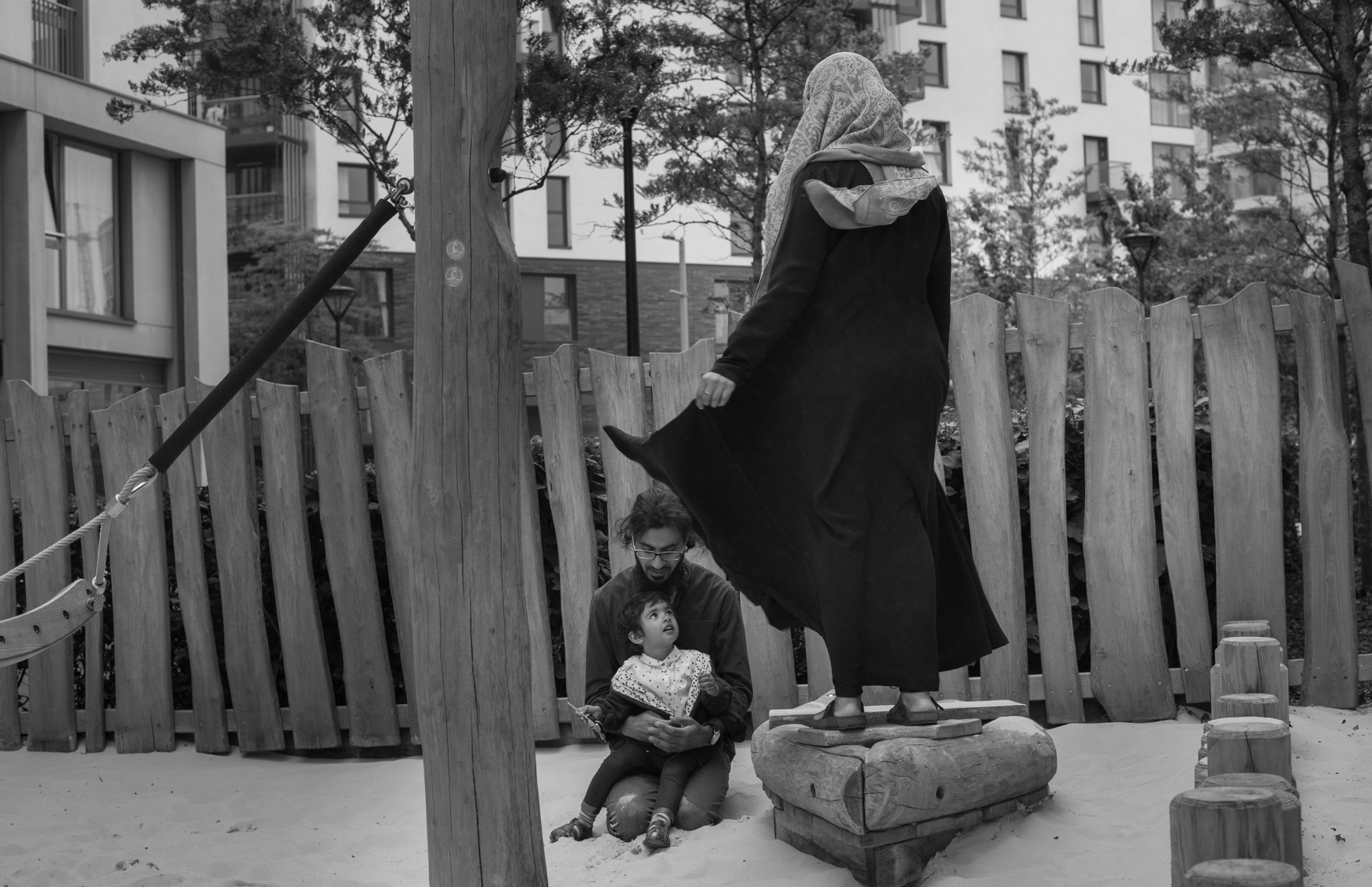
This embodied drawing workshop explored how the visceral and tactile nature of mark-making can be used as a tool to explore and capture the complex relationships between the body and its experiences in, and of, spaces and places. Drawing, specifically the physical act of making marks on paper, is a truly embodied form of visual communication, since the marks we produce with our bodies come from within us. Our gestures and the marks they leave, are as unique as a signature.
In this workshop, drawing was used as an exploratory device to attune to, and map, our everyday experiences of the environments around us, and the impact such places have on our physical, emotional and mental health.
The workshop focused on sensory and emotional experience, by exploring what it feels like to be a body in a space. We focused on how we experience the sounds, smells and the spatial dynamics of the buildings we live and work in, and the streets we walk through everyday. We considered what such spaces mean to us, and what emotional associations we have with the spaces and structures we move around and exist in. The drawings we made during the workshop enabled participants to look differently at their everyday experience of places, and by working both collectively and individually, we began to share our experiences to find common points of connection and understanding.
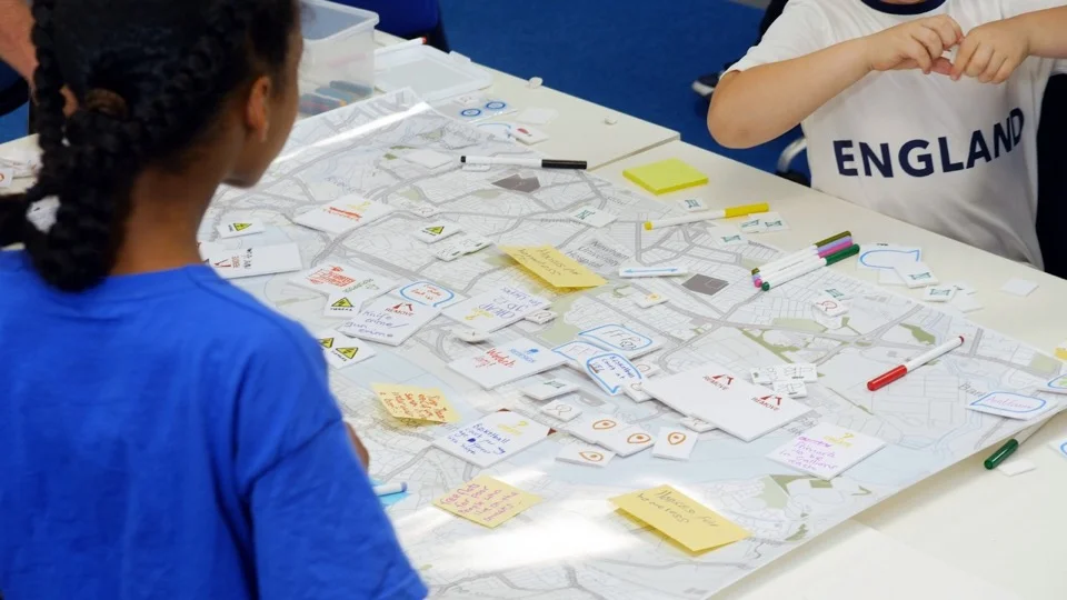
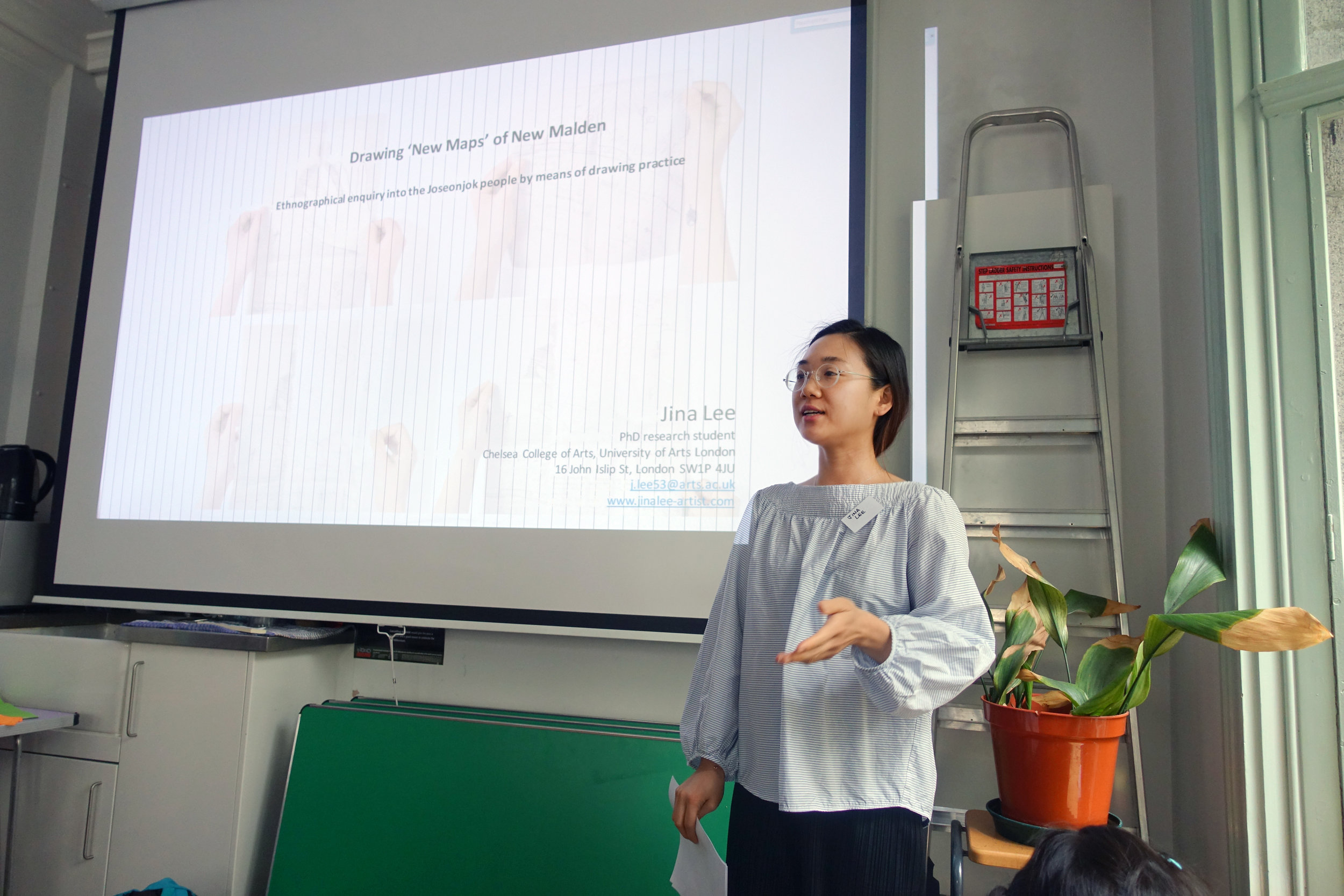
Mapping Sustainability and Biodiversity in our Local Area
Jina Lee
The workshop gave participants the opportunity to create a personalised map using the TalkingMap method in an informal and relaxed setting. The TalkingMap is an interdisciplinary map-making tool created by artist and researcher Jina Lee to potentially map and capture the hidden voices of people. Beyond the conventional map, it uses critical cartographic methods and contemporary drawing practices to gather information about a particular place, its inhabitants and their narratives through oral history and interviews. This method was originally intended to create a life map, but has been widely used as a participatory mapping tool in a variety of contexts, including collaborations with local communities, institutions and organisations serving different age groups. In this workshop, participants were asked to draw a map of their hometown, focusing on changes in the local environment that affect people's health. The two words local and global can be seen as asymmetrical, but they are inseparable, as small changes we make locally lead to big impacts globally. By looking closely at the local environment, such as trees, parks, rivers, air, public spaces, social communities, urban animals, etc., this workshop aimed to re-invigorate and re-habituate our daily lives so that we can take responsibility for sustainability and biodiversity in our local area.
Creative walking and mapping with The Walkbook
Clare Qualmann
The Walkbook: Recipes for Walking and Wellbeing is an output from the research project ‘Walking Publics, Walking Arts: Walking Wellbeing and Community under Covid19’. The book includes 30 ‘recipes’ for creative walking created by artists in response to the projects findings around barriers to walking. In this walk-shop explored recipes from the book that approach mapping and knowing; ways to connect sensorially with the environment around us and produce maps in a range of different ways. The project, and the walk-shop, explored the potential of creative walking activities to build a sense of connection to place/community and seek to contribute to new creative methodologies for participation and engagement.
Link to the Walkbook
https://walkcreate.gla.ac.uk/wp-content/uploads/2022/07/THE-WALKBOOK.pdf
YOUNG CitizenS atlas (YCA)
This project is being developed as an online platform providing a freely accessible toolkit of resources which teachers and youth workers can download and use for map making projects with children and young people around a set of urban and environmental issues of direct concern to them. The platform includes a curated exhibition space in which the work produced can be uploaded and displayed. The Atlas will be built up over time from work produced in classrooms and youth projects across the country and expand as more agencies participate. It will thus provide an evolving framework in which children’s and young people’s visions and versions of the city and the environment can be better represented and where fundamental questions can be asked about the future post-pandemic world into which they are growing up.
Every Dog is a Lion in its Home
Personal geographies of place, identity and belonging within London’s Ukrainian communities: A participatory mapping project by Livingmaps Network, in association with Pushkin House.
Project Summary
The Livingmaps team will work with groups of Ukrainians now established in London, both adults and children. The aim is to provide a platform from which participants can use a variety of media to co-create a space and form of collective representation of their situation which is also of benefit to new arrivants. The work produced will be hosted on the Livingmaps website, so that is available to a wider public, as well as being disseminated through Ukrainian community organisations.

Workshop 1 : Homing Devices. Leader: Jina Lee
Designed for adults and children as a family friendly workshop, this workshop is to create a multi-modal map drawing on their experiences of making a new home for themselves in different parts of UK. The participants will explore their memoryscapes of growing up and living in Ukraine by comparing their current place. The workshops are divided into two sessions, including clay modelling and the map drawing method called TalkingMap. The two sessions will last 1 hour each with a break. The mapworks will be used to introduce those newly arrived in the UK to already established Ukrainian communities and help develop links between the two groups. Individual maps will be collected and incorporated into a large map, which will be exhibited at the end of 2023.
Workshop 2: Travelling Stories. Leader: Natalia Baryshovets
A children’s’ group from a Ukrainian Saturday School in West London will take part in a puppet making and storytelling project, drawing on themes of journeying, home making and displacement from popular Ukrainian folk tales to co--create a play to be performed at Easter. The ten sessions will last 45 minutes each.
Workshop 3: Trails, tracks and traces. Leaders: Debbie Kent & Alisa Oleva
This workshop is designed to explore creative mapmaking in the city, finding ways to chart personal landmarks and map experiences of sights, sounds, smells, textures and memories of place. It will take place in three sessions at Pushkin House, a cultural centre supporting refugees from both Russia and the Ukraine located in Central London. Participants will be recruited from adults involved in the other workshops who are interested in developing their creative skills to add more layers of information to their map making.
GROUNDBREAKERS
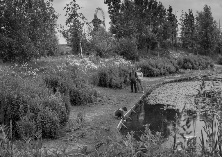
An immersive VR trail, online map and guidebook telling the backstory of the Queen Elizabeth Olympic Park site from the Bronze Age to the Digital Age, with trail signage mounted at various locations in the Park.

Developed by Livingmaps Network in partnership with Hyperactive Developments and Queen Elizabeth Olympic Park with grants from the Heritage Lottery Fund, the Foundation for Future London and the Raphael Samuel History Centre. Dedicated to the past, present and future makers of the Park, and to the host communities and volunteers whose generosity made the 2012 Games such a memorable occasion.
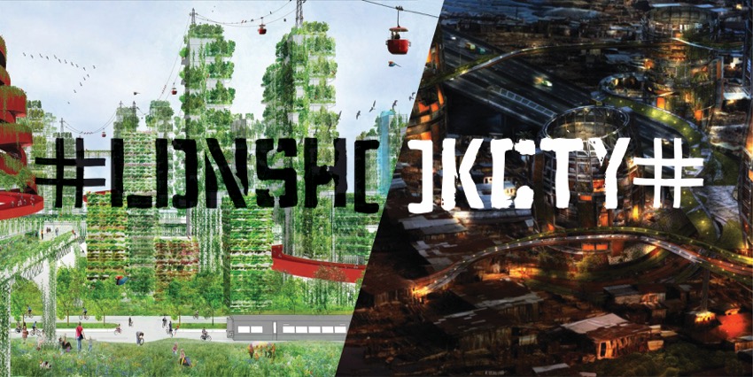
Dreaming of a Post-Covid World
(Creative partners: Sol Perez-Martinez and Kimbal Bumstead)
Dreaming of a Post-Covid World was a curatorial project devised by Sol Perez-Martinez and Kimbal Bumstead, which sought to explore the practice of map making as a form of visual storytelling within the context of the global pandemic. Via an open call, people were invited to send handmade maps of their quarantine experiences and their dreams for the future. Participants were invited to map or draw their ideal place, a place they dreamed they could visit in a post-covid world, a place they wished to live in, or perhaps a local place they wanted to transform. This task could be interpreted as abstractly or concretely as they wished, it could be mundane or absurd, real or utopian, simple or complex.

Emma Fält, Maps of softness, fluidity and energy, Finland, print, 2020

Menekse Aydin, Map of Eatable Lands, Turkey, mixed media, 2020
The responses were diverse and playful, embracing a range of media and visual languages from drawing and mark-making, through to collage and even a map baked as bread. The maps speak as much of inner worlds and re-readings of reality as they do of political proposals and calls for community action. They capture some of the dreams, hopes and internal discourses of people during the lockdown period of 2020. A curated selection of the maps and participant responses is presented in Livingmaps Review Issue 9, along with an accompanying text: https://www.livingmaps.org/dreaming-of-a-postcovid-world
ENERGY IN STORE
(Creative partner: John Wallett)
In the AHRC funded project ‘Energy in Store’, (2017-18) external researchers have been working with Science Museum Group curators and conservators to explore the potential of the Science Museum Group stored collections.
The Group’s collections include around 425,000 objects, and in total seven million items including books, archival records, photographs and other media. Although some of these are on permanent display in the museums, and others will feature in special exhibitions and loans to other venues, most of them will remain in the stores for the foreseeable future.
In Energy in Store a small working group of curators and researchers was brought together, united by an interest in the history of energy production and distribution.
Over the last year that working group has met on a regular basis to exchange perspectives and explore new ideas. We held workshops and visits taking in Blythe House in West Kensington, the Library and Archives at the Science Museum, the Collections Centre at the Museum of Science and Industry, and the National Collections Centre at Wroughton.
During those meetings the group have discussed around 150 different objects that relate to energy generation and distribution – ranging from a fossilised tree, to dummy nuclear waste, domestic gas meters, early batteries, engines, and models of power stations.
Visiting the stores and focusing on objects has allowed us to tackle a series of questions How could SMG offer access to the object collections which is better adapted to the needs of external researchers? Where might researchers benefit from a greater understanding what happens ‘behind the scenes’? We have also discussed issues of concern shared by all parties – how could the historical knowledge that external researchers are producing about the objects be more systematically integrated into the museum records? How can volunteer organisations, interest groups and museums avoid intergenerational loss of expert knowledge? What benefits (or hazards) does the digital present to object-based research?
The project has been facilitated by information designer and community arts expert John Wallett, and recorded as a documentary film by Aura Films.
At a final symposium in June we brought some key topics, debates and ideas from Energy in Store to a larger audience of interest groups, the voluntary heritage sector and professional museums staff. We will screen the film, and use the findings from Energy in Store as a provocation for further debate with the audience.
We will also be publishing further material in the form of a printed publication and an archive of stills photography, audio interviews and supplementary video footage.
AHRC Funding and Delivery
The project is funded by the Arts and Humanities Research Council (grant ref: AH/P013678/1 official title: Integrating Forms of Care: building communities of practice around reserve collections).
It is being delivered by Dr Anna Woodham, King’s College London, Jack Kirby, Group Head of Collection Services, SMG, and Dr Elizabeth Haines, Research Associate, Science Museum, London, between July 2017 and July 2018.
Energy in Store page on the SMG website:
https://group.sciencemuseum.org.uk/project/energy-in-store/
Lecture series: Our Kind of Town
A series of occasional public lectures by leading figures in the movement to rethink what London means to its citizens, drawing on its historical record, its contemporary social geography and its future. Lecturers have included Michael Edwards, Anna Minton, Ben Campkin and Emma Spruce.
To keep updated about events and projects, subscribe to the Livingmaps Network Mailing list.
Rethinking the Legacy of 1968: Left Fields and the Quest for Common Ground
(image: John Wallett)
A conference held at the University of East London. You can learn more about the speakers and themes by going to the conference website here: http://rethinking1968.today/ or by watching the conference film above.
The Art of Mapping
These workshops are run by Kimbal Bumquist annd Jina Lee, two artists who have developed innovative approaches to creative mapping . Further workshops are planned and details will be posted shortly.
Speaking out of place
Speaking out of Place was a series of community mapping and research projects carried out between 2013 and 15 in and around the Olympic Park, East Village and Stratford, London E 15 and E 20. The projects were devised and delivered in partnership with The Building Exploratory and received funding and support from the London Legacy Development Corporation. The work formed the basis of a conference in 2015, London’s Turning, a community photography project and a number of publications.
Community Photography Project - MyPlaceYourPlaceE20
MyPlaceYourPlaceE20 was part of the Speaking Out of Place research in East Village (formerly the Athletes’ Village), London, E20. Debbie Humphry took ethnographic photographs of East Village residents and the wider Queen Elizabeth Olympic Park development in E20. She worked with East Village residents as they took photographs of their experiences as pioneers in the new development. The project culminated in 2015-16 in the first major photographic exhibition about the East Village, which was displayed in the Sir Ludwig Guttman Health Centre and Stratford Library.
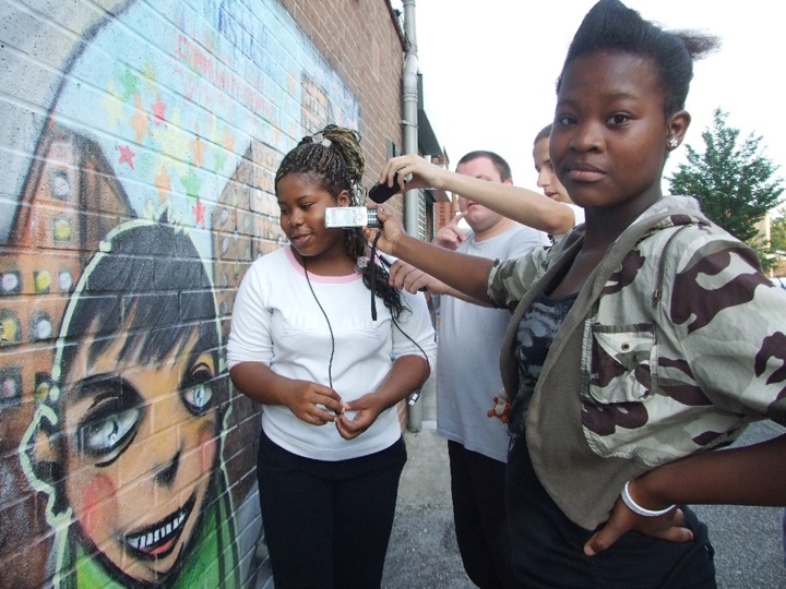
Youth Video
A video was produced by Aura Films which explores the perceptions of young people living in East Village. It is based on a series of workshops in which participants learnt techniques for video film making. The video explores what it is like to grow up in East Village as a major site the Olympic legacy narrative, focusing on issues of place, identity and belonging, youth representation, policing and public amenity. The video can be viewed on YouTube.
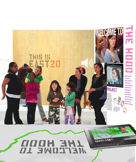
THIS IS OUR EAST 20: The Young Persons Guide to the Olympic Park…
Two groups of Year Nine students in the Chobham Academy school in the heart of East Village took part in a creative mapping and environmental exploration project about their experience of place. Visit a new version of the project website at: https://www.oureast20.com/wordpress/.
Ethnographic Research: Living The Dream?
Livingmaps carried out an ethnographic study examining patterns of inhabitation and meaning amongst incoming tenants of East Village. It forms the basis of two chapters of London 2012 and the Post Olympic City (Palgrave Macmillan 2017) by Phil Cohen (‘A Place beyond belief: hysterical materials and the making of East 20’) and Debbie Humphry (‘The best new place to Live: visual research with residents in East Village’).
Curated event at the Museum of London: The ‘London Aftershock salon’
An evening of live performance, multimedia, debate and play at the Museum of London. Livingmaps presented two very different visions of life in London in 2049. Participants were invited to decide which they preferred – or to add their own alternative. After hearing the arguments, they had the opportunity to contribute to three rooms in the Museum of 2049, each one featuring responses to a different scenario of urban shock. The full text is available here.
WILLIAM BUNGE MEMORIAL LECTURES
Bunge’s project of expeditionary geography and in particular his book Fitzgerald: Geography of a revolution, published in 1971 was one of the chief inspirations in setting up Living Maps.
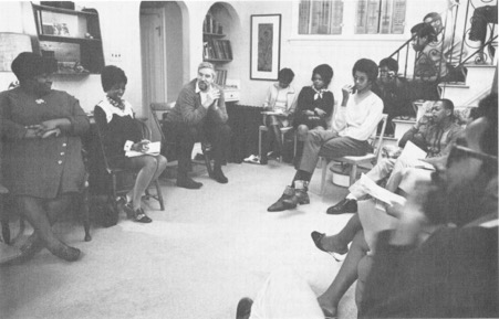
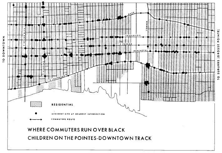
Bunge belonged to a generation of intellectuals who believed in scientific socialism as offering a higher form of rationality in the service of the fight for social justice. He was trained as a quantitative geographer, and thought that mathematical topology would put geography at last on a properly scientific footing. In the 1960’s , while teaching in Detroit, he became disillusioned with the Academy, became an activist against the Vietnam war, supported the student movement, alienated his fellow academics by his outspoken views, got fired from his university job, and became involved in community campaigns against the endemic racism of Detroit’s educational system , housing policies and city governance. He was blacklisted and couldn’t get a job in any American university so in the early 70s’ he moved to Canada, where he lived until his death in 2013.
It was from the vantage point of being strongly embedded in the struggles of the black and white working class communities of Detroit that Bunge embarked on the expeditionary geography that was to culminate in the publication of ‘Fitzgerald’. This remarkable book combines elements of oral history, cultural geography, social cartography , and visual ethnography to provide a rich , multilayered account of the past , present and future of a suburb of Detroit which was undergoing rapid socio-economic change , and which had been one of the centres of the uprisings which marked the radicalisation of the civil rights movement in 1960’s. Bunge not only set out capture the density and complexity of that local experience, he used it as a lens through which to focus and analysis the intersection of race and class in the unravelling of the Great American Dream.
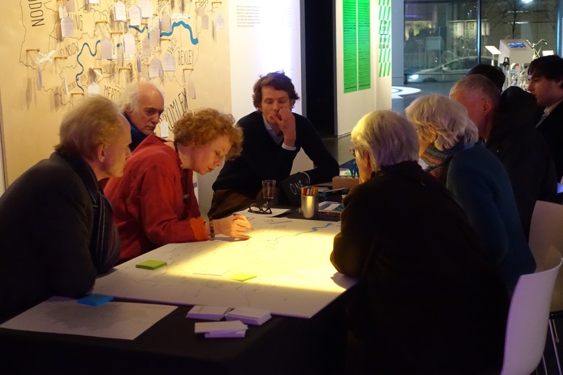
Seminar series: Cultural cartographies

Image: (c) Layla Curtis ‘The Thames (from London Bridge, Arizona to Sheerness, Canada)’, 2013 Collaged maps, 30 x 42 cms See: http://www.laylacurtis.com/work
The theme of Livingmaps’ seminar series in 2017-18 was Cultural Cartographies. Maps are never simply made and put use: they are always embedded in culture, which determines how and why they are made and used. Some cultural geographies are better represented on maps than others. This series explored the many ways that culture may be represented and reproduced on maps, whilst also being implicit in the many ways that maps are used. The series brought together academics, artists and others to explore these all too often hidden dimensions of cartography.